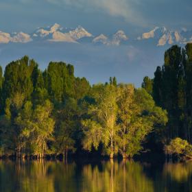
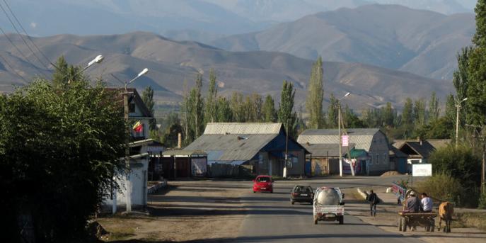
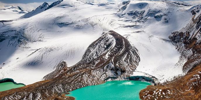
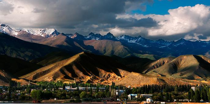
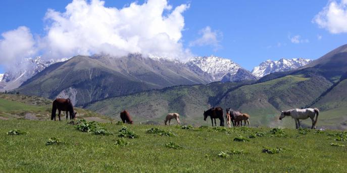
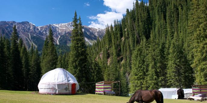
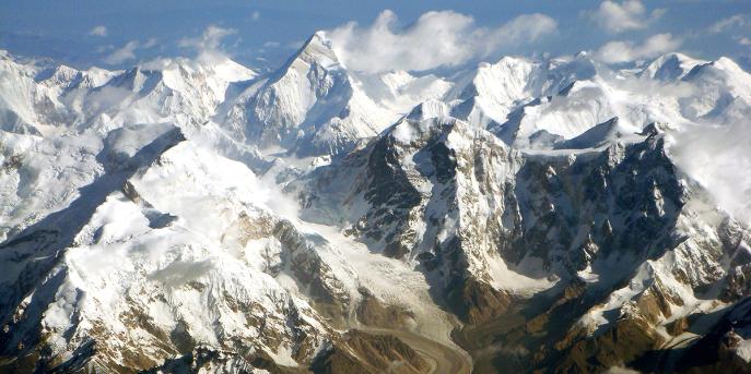
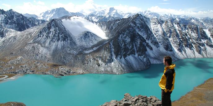
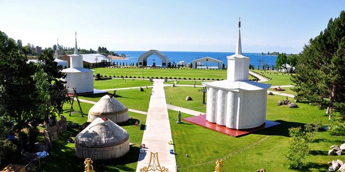
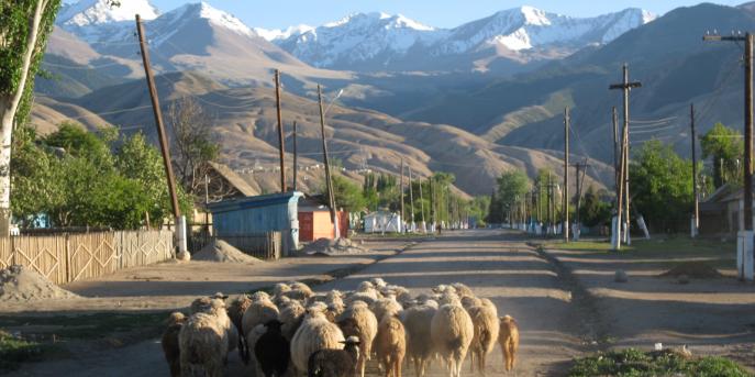
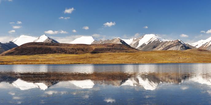
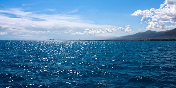
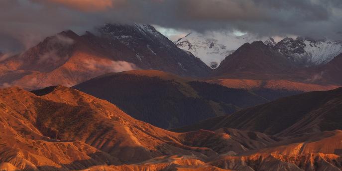
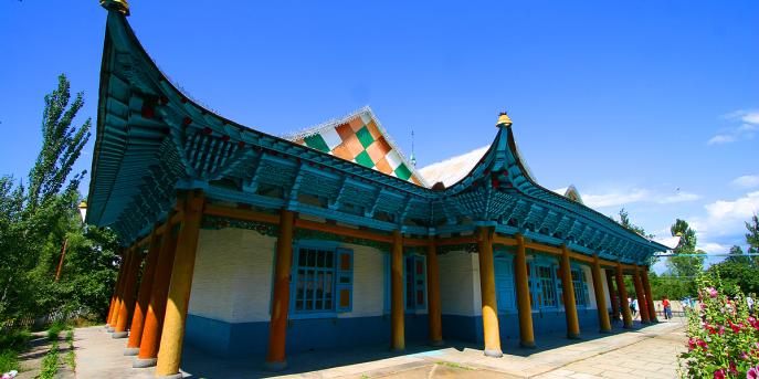
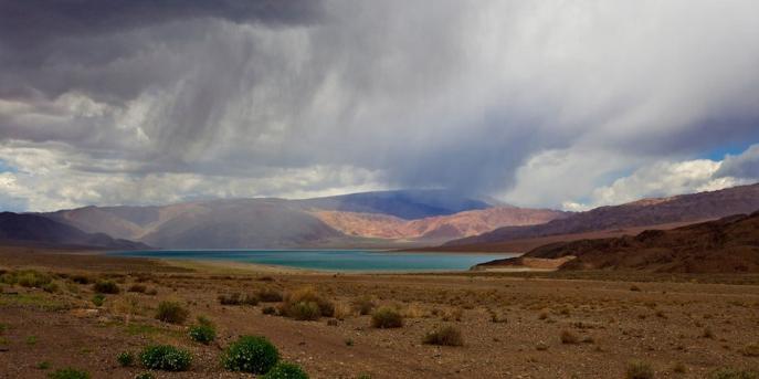
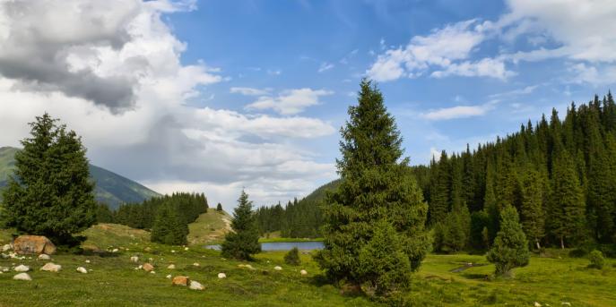
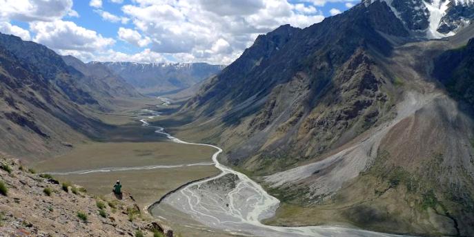
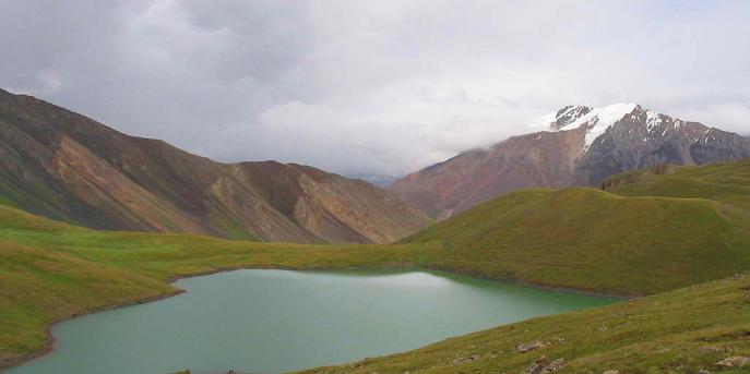
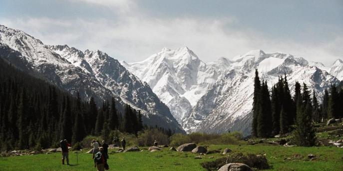
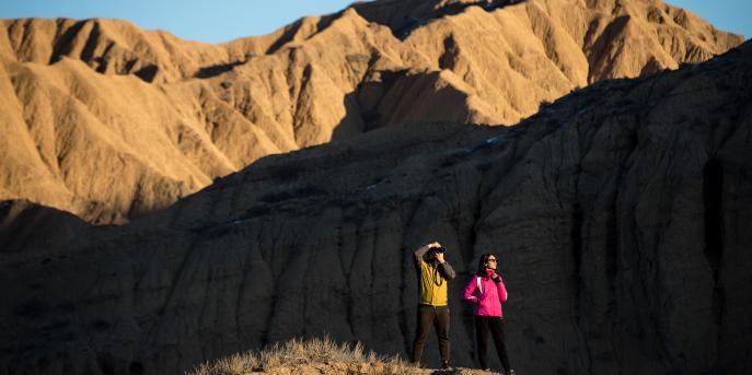
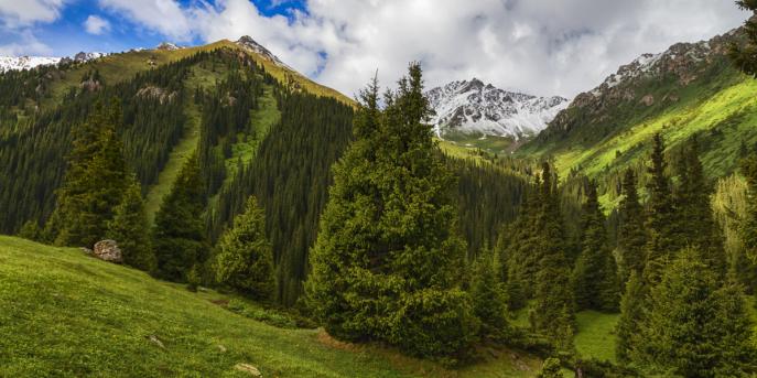
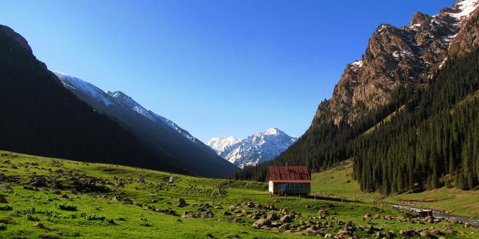
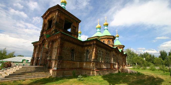
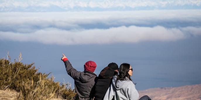
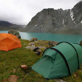
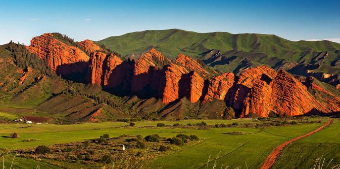
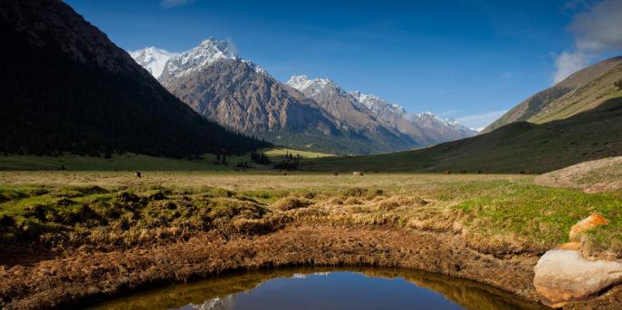
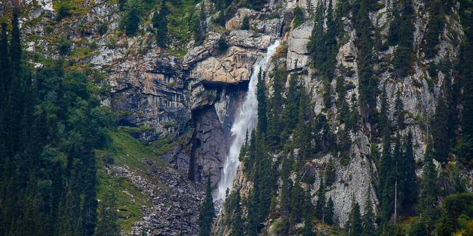
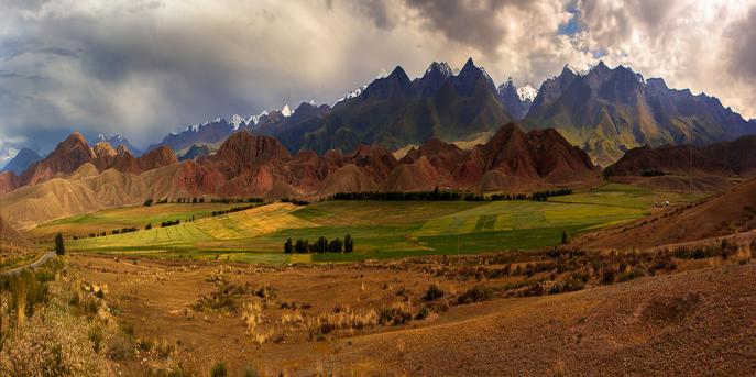
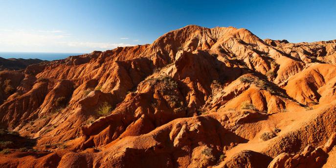
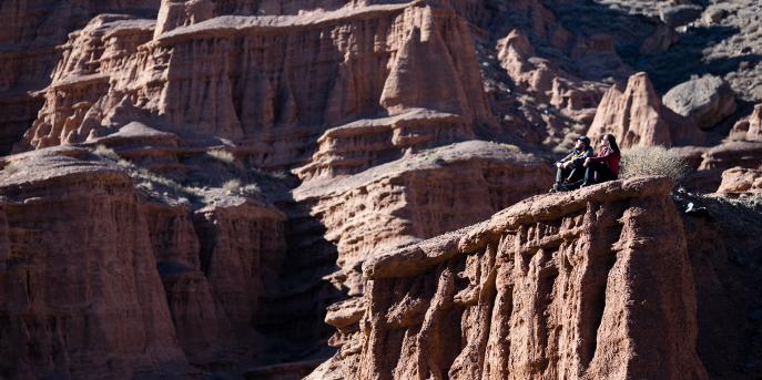
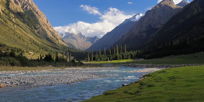
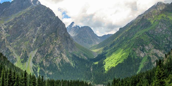
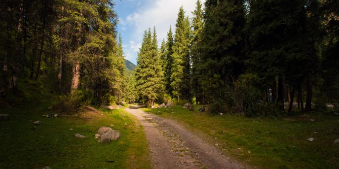
Kyrgyzstan offers plenty of attractions in every corner of the country. Seven regions of the country are quite different from each other in terms of natural resources and historical heritage. The country has over two thousand lakes, hundreds of rivers, plenty of national parks, pastures, valleys, gorges. In Kyrgyzstan each mountain has unique scenery. In Kyrgyzstan everyone can find something to fall in love with.
5 km to the south of the town Karakol a gorge of the same name is located. The gorge has a length of 40 km and it is adjacent to the ridge Terskey Ala-Too.
Cholpon-Ata is the main resort town of Issyk-Kul region. The city located on the shore of Lake Issyk-Kul is famous for its amazing beaches of white fine sand and incredibly clear water.
Ak-Say Canyons stretch along the southern shore of Issyk-Kul Lake near the village of the same name Ak-Say. They are located 16 kilometers from the regional center Bokonbaevo.
The administrative center of IssykKul region, the town of Karakol is situated at the foot of Terskey Ala-Too mountain range, 12 km from the shore of Lake Issyk Kul.
Semenov Gorge, with a length of about 30 km, is located 40 km from the town of Cholpon-Ata. In the valley there flows the river Ak-Suu, which starts from the glacier.
The Kok-Jaiyk valley is located in the Jeti-Oguz Gorge, 25 km. from the city of Karakol and is one of the main Jailoo (summer pastures) in the south of Issyk-Kul.
The picturesque valley Jeti-Oguz ends with a wall of majestic mountains, passing into Terskey Ala-Too. The highest point of this mountain wall is the peak Oguz-Bashi 5170 m high.
Sarychat-Ertash national reserve is located in Jeti-Oguz district, Issyk-Kul region. It also includes territory of Uch-Kol riverhead and Sarychat-Ertash syrts.
The valley of Jyrgalan situated in 60 km. from city of Karakol in east part of Issyk Kul Region. This place resembles a lost paradise, located among the mountains of the Central Tien Shan.
Issyk-Kul reserve is the biggest one on the territory of Kyrgyzstan. It consists of 12 separate parts with general area more than 19500 hectares. Issyk-Kul national reserve was established in 1948.
According to the researchers, near the town of Cholpon-Ata is situated a place where ancient nomads worshiped the heavenly bodies and performed religious rituals.
The famous waterfall Maiden Tears is located in "the Valley of Seven Bulls", Jeti-Oguz, at the altitude of about 2500 m. The height of the waterfall is about 40 m.
The Russian Orthodox Holy Trinity Cathedral is located in the center of Karakol. It was built of hewn logs in 1894-1895 on the ruins of the brick church.
On the southern shore of Lake Issyk Kul, between the villages Kaji-Sai and Ton is situated a unique place called Manjyly-Ata. People call it "the Valley of the sacred springs."
Orto-Tokoy reservoir is considered to be the first water reservoir in Kyrgyzstan. It was created in 1956. It is located on the Chu River, beyond the village Kochkor.
Altyn-Arashan gorge is famous for its hot springs located at the altitude of about 2600 m. As early as in Soviet times there was built a small resort with several houses for tourists.
On the way to the Issyk-Kul Lake in the Boom Gorge there are colorful and unique in their relief - Kok-Moinok Canyons. It was named after the village of the same name, Kok-Moinok.
Chong-Kyzyl-Suu gorge is located 60 km to the west of the town of Karakol. Its name "the big red water" the gorge got because water in a river at the bottom of it seems to be red.
10 km to the east of the town of Karakol, in the valley of Arashan River the gorge Altyn-Arashan is situated. In the lower part of the river there is the village Ak-Suu (old name Teploklyuchenka).
Khan Tengri Peak is the third highest peak in Kyrgyzstan, located 7 km far from the border of three countries - Kyrgyzstan, Kazakhstan and China, on Tengri-Tag mountain range.
Picturesque Jeti-Oguz gorge is located 28 kilometers to the south-west of the town of Karakol. Its name is translated from Kyrgyz language means “Seven bulls”.
Chong-Ak-Suu (Grigoriev) gorge is located 60 km from the town of Cholpon-Ata. It descends from the Kungei Ala-Too and extends for 35 km along the shoreline of Lake Issyk Kul
Mars Canyons are located near the village of Kaji-Say on the southern shore of the Issyk-Kul Lake. They represent a ridge of red mountains similar to the landscapes of the planet Mars of the same name.
Tosor pass is situated on Terskey Ala-Too mountain range at the altitude of 3893 m. Through it was paved a road connecting Issyk Kul and Naryn regions.